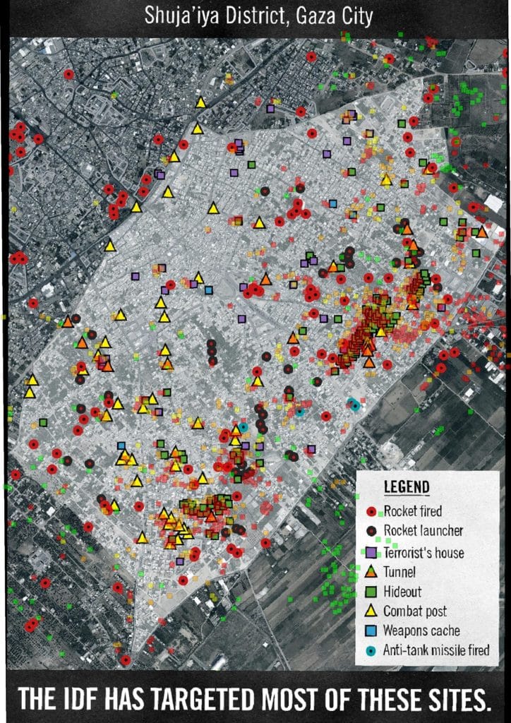
If we do a rough estimate of the damage area, it is once again clear the vast majority of the Gaza Strip was unscathed. With a fairly generous estimation that a damage point has a 25 meter radius – the footprint of a house, or the blast radius of a bomb – the total damage area of the 12,433 impacts was in the order of 15 KM2. The land area of the Gaza strip is 360 Km2. In other words, less than 5% of the land was affected.
Assessing The UN’s OCHA “Gaza Crisis Atlas 2014″ Report
It is a 100-page long, ready-for-print, PDF atlas of Gaza, showing the locations of schools, shelters, hospitals and other infrastructure, along with more than 12,000 points representing damage and destruction caused by the IDF air and ground assault during the first month ofOperation Protective Edge (between July 9th and August 5th).
The Gaza Crisis Atlas is a planning tool intended to assist aid and development agencies in assessing and responding to humanitarian and reconstruction needs emanating from the conflict in the Gaza Strip. It is a vital tool for humanitarian and development organizations, but it is also a valuable resource for anyone operating in Gaza as well as those wanting to better understand the impact of the recent escalation of hostilities.
The Atlas includes printable A3-size maps featuring satellite images of all areas of the Gaza Strip. The main features / land marks were plotted on a high resolution satellite image captured on 6 July 2014. The Atlas was designed at the neighbourhood level to provide higher level of detail to support operational organizations to conduct needs assessments and programming. The individual subset maps illustrate physical damages provided by UNOSAT based on analysis of satellite images from 14 August 2014. Location of shelters, health and education facilities in addition to other baseline information is all mapped.
I cannot independently verify the veracity of the damage reports and locations, or the methodology used by OCHA in collecting and classifying these sites. From going over these locations with satellite imagery, they are indeed overlapping structures and other compounds.
OCHA defined 4 qualitative severity levels
- Crater/Impact
- Moderately Damaged Structure
- Severely Damaged Structure
- Destroyed structure

